Courses
(- under construction -)
|
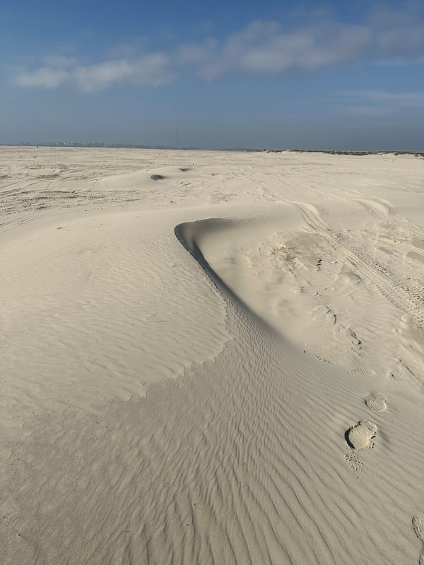
Integrating Earth Surface Processes Through Time (coming Fall 2023) GEO 416S, undergraduate level Coming soon - We are cooking up some of Texas' finest! In this course, students learn about modern physical, chemical, and biological processes through the prism of Texas’ changing rivers and coastlines. We will look at the dramatic changes that have occurred across the Texas continental shelf since the last Ice Age. We will then step into deep geological time through an exploration of the Permian of West Texas to explore how continental margins are constructed and how we use life to study changing environments over long timescales. Ultimately, we will illustrate how an understanding of geological processes on Earth may be used to interpret planetary systems. Along the way we emphasize underlying tenets of the history of life, geologic time, and surface processes. We will introduce quantitative methods to study both the Earth’s surface and its subsurface. We will expose students to myriad directions they can learn more deeply about the evolving surface of the Earth and other planets. |
|
|
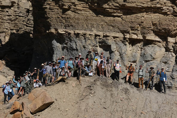
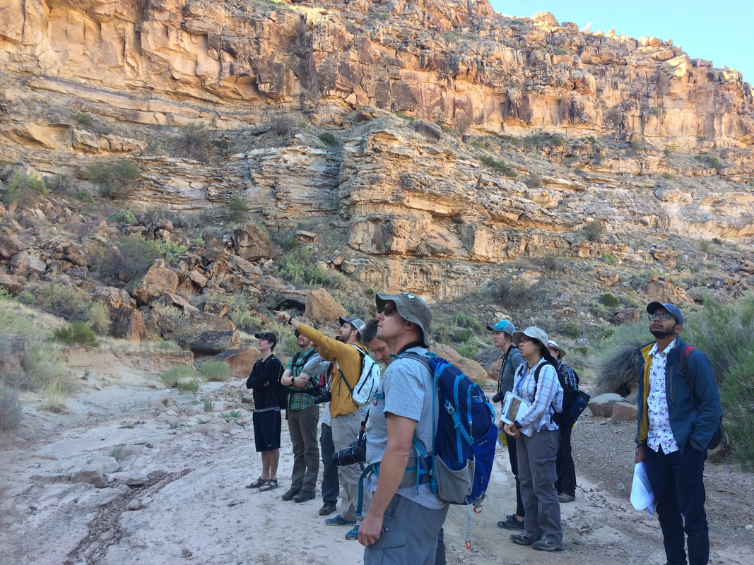
Field Course - Sedimentology and Stratigraphy in the Book Cliffs, Utah
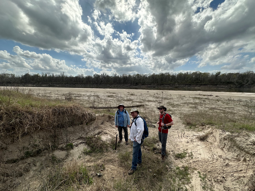
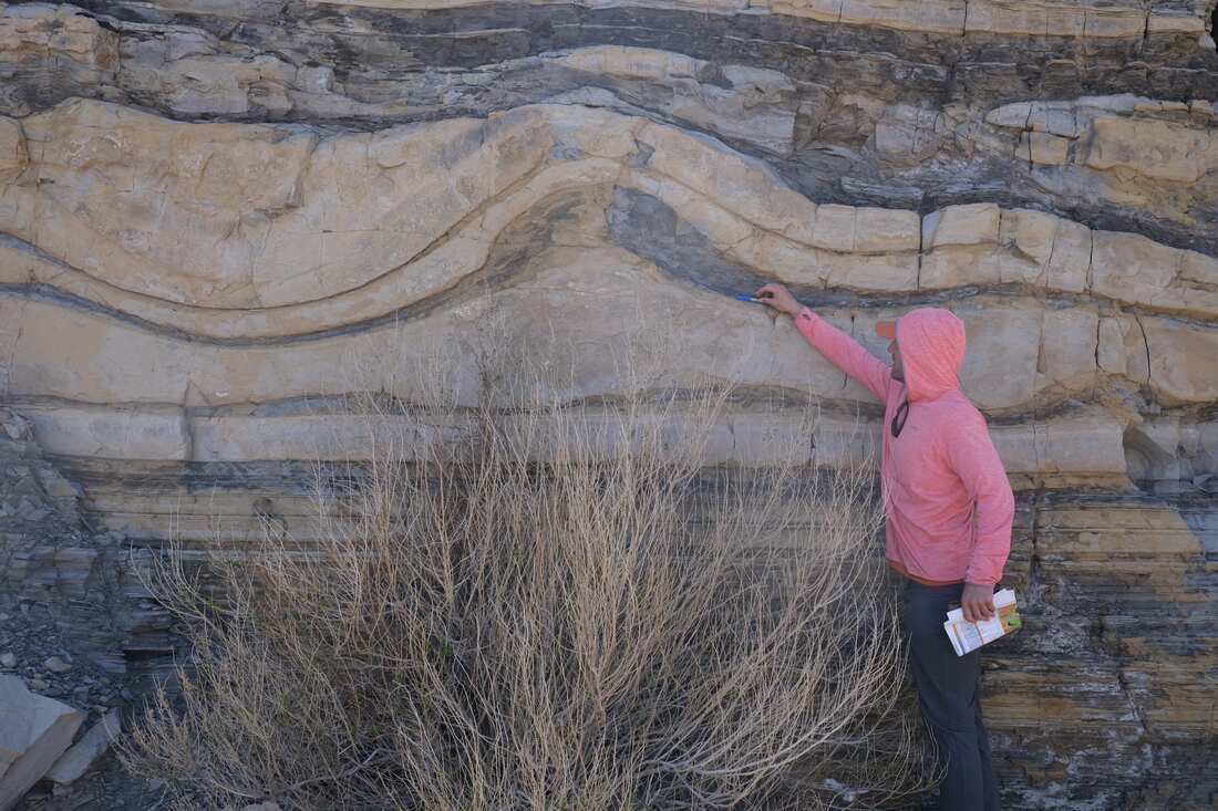
GEO 660A, undergraduate level The tourist drives by the Book Cliffs and sees a monolithic feature that looks like the side of a book. After this section of the field course, it is our hope that students will look at the Book Cliffs and envision how these rocks evolved in space and time (4D). Through this experience, they gain a sense of how depositional and erosional processes integrate through time to create stratigraphy. In doing so, students examine rocks from the grain, to the bed, to the basin scale. They define and characterize lithofacies and interpret the depositional processes that formed them. Students learn to describe both vertical and lateral variations in these lithofacies and interpret how the environments of deposition evolved through time to create this distribution of facies. For your capstone experience, we integrate 4 days of work and generate a stratigraphic analysis of the evolution of the Kenilworth Member of the Blackhawk Fm. See more photos here |
|
Clastic Depositional Systems
GEO 383, graduate level
GEO 383, graduate level
Introduction to Field and Stratigraphic Methods
GEO 420K, undergraduate level
GEO 420K, undergraduate level
Sedimentary Basin Analysis
GEO 383S, graduate level
GEO 383S, graduate level
Courses (taught at Stanford University)
|
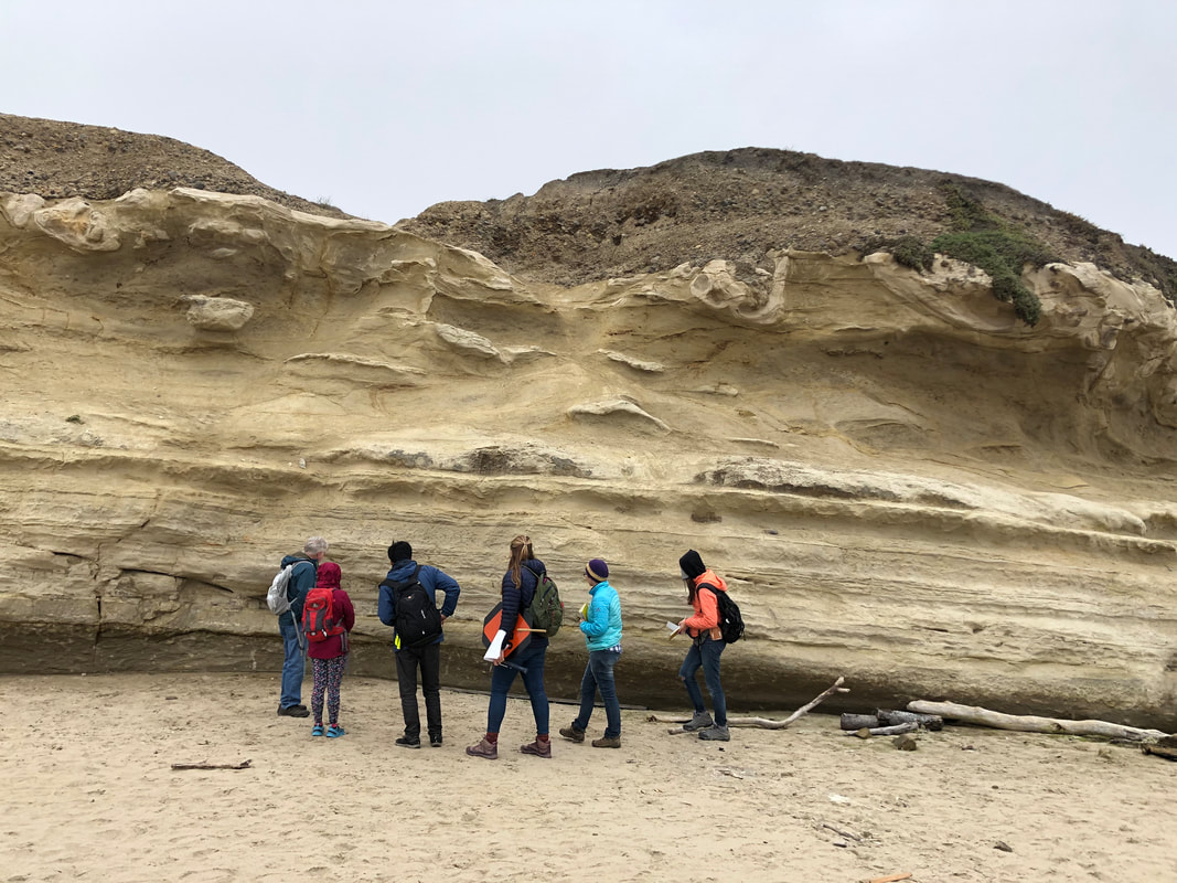
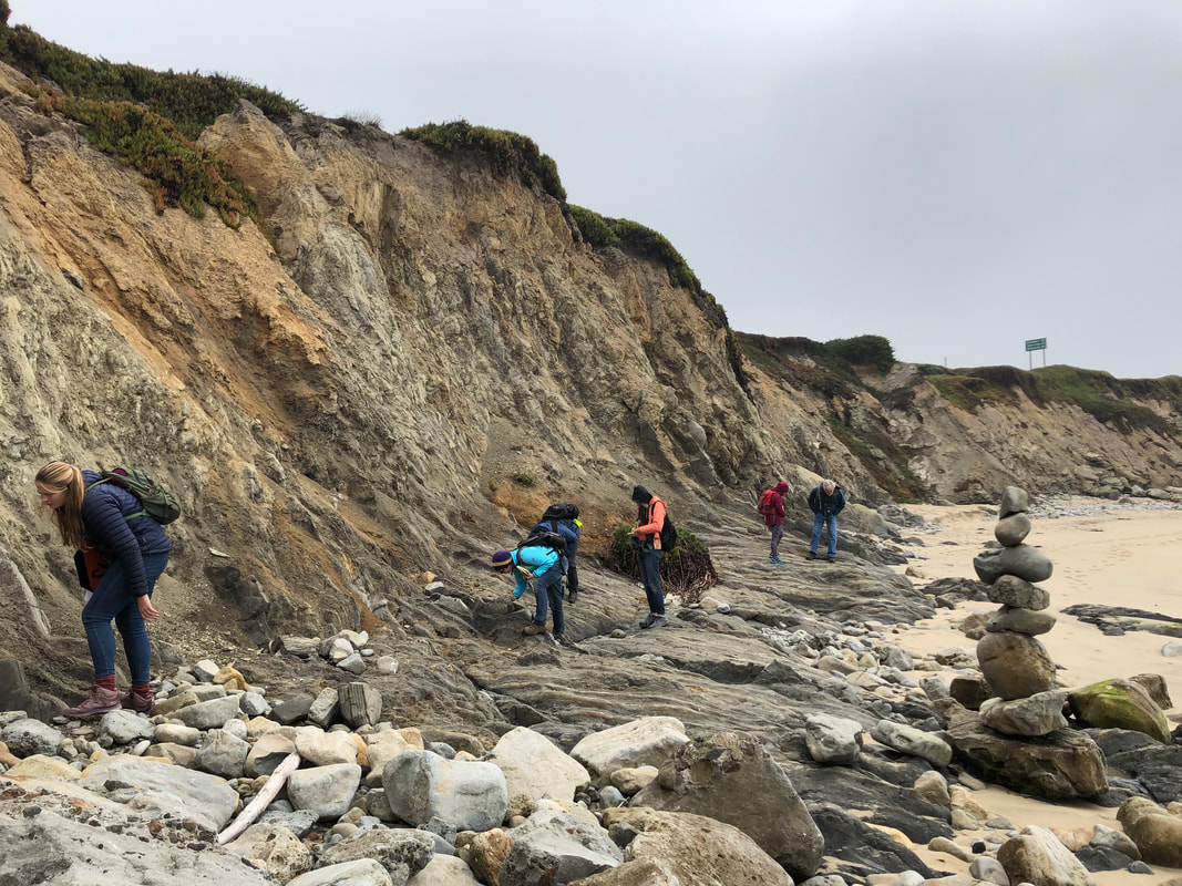
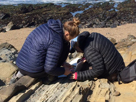
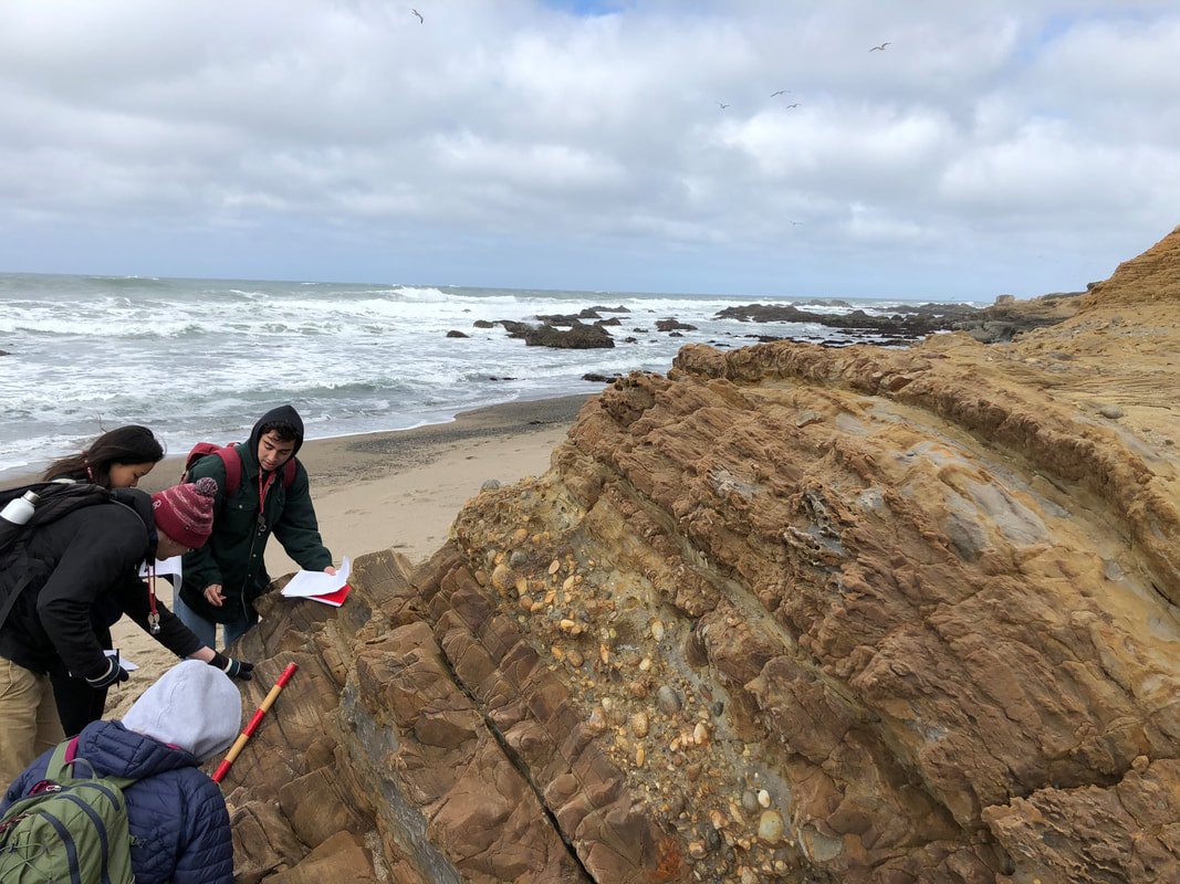
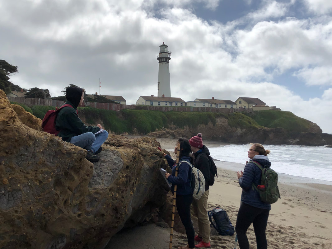
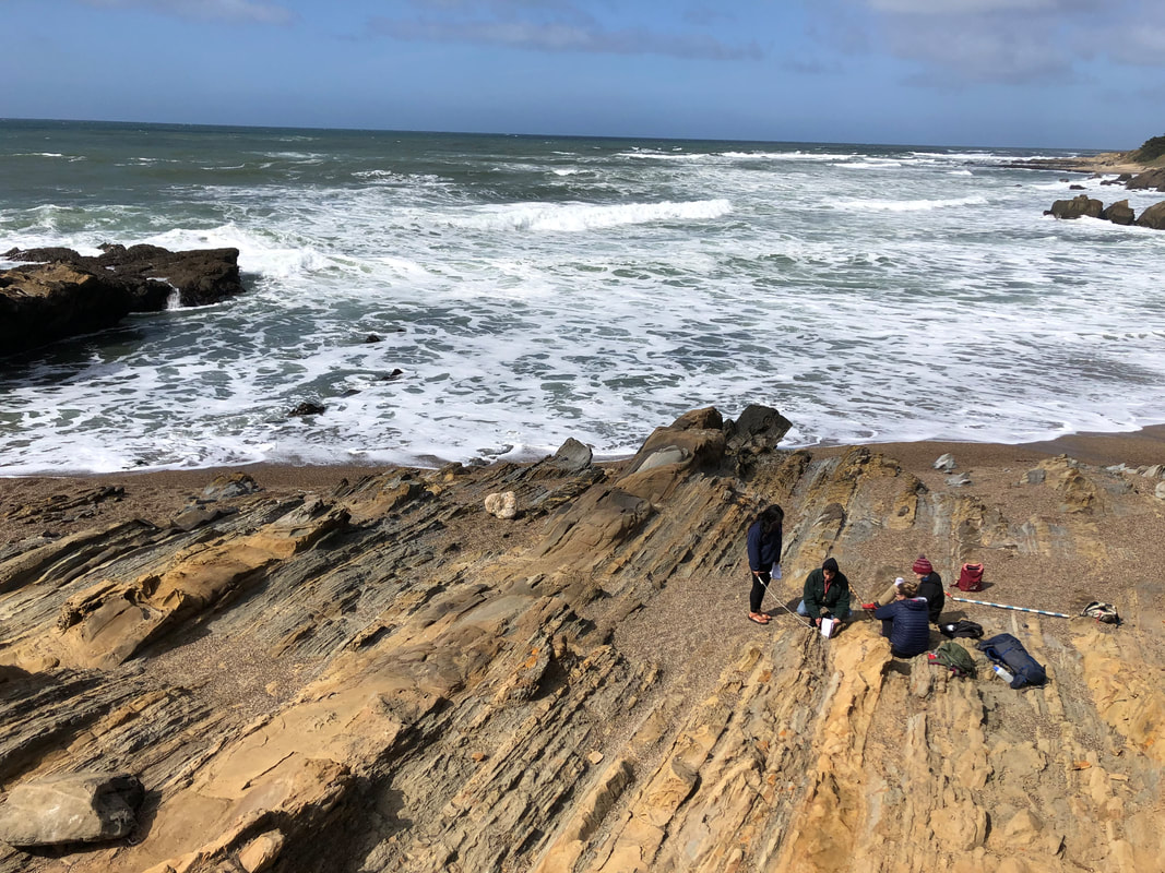
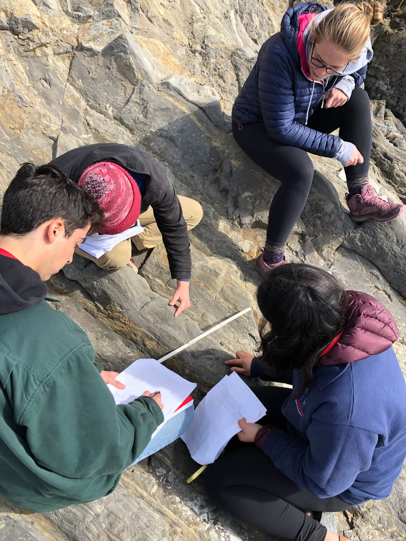
Sedimentary Basins and Tectonics: GS251, graduate level This course covers analysis of the sedimentary fill and tectonic evolution of sedimentary basins. Topics: tectonic and environmental controls on depositional systems, detrital composition, burial history, and stratigraphic architecture; synthesis of basin development through time. One weekend field trip required. One of the cornerstones of this course is a final project where students get to visit some of the spectacular coastal California geology to make a series of observations in the field. These field observations are combined with laboratory data to reconstruct the tectonic and depositional history of a sedimentary basin. The photos to the right include visits to a few of these exposures. |
|
|
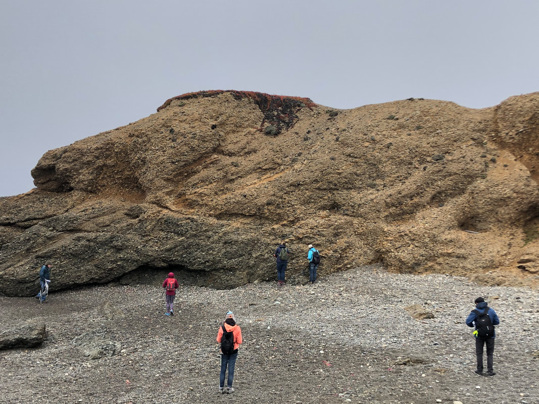
Sedimentary Geology and Depositional Systems: GS106, undergraduate level, now listed as "Sediments: The Book of Earth's History" This course covers topics of weathering, erosion and transportation, deposition, origins of sedimentary structures and textures, sediment composition, diagenesis, sedimentary facies, tectonics and sedimentation, and the characteristics of the major siliciclastic and carbonate depositional environments |
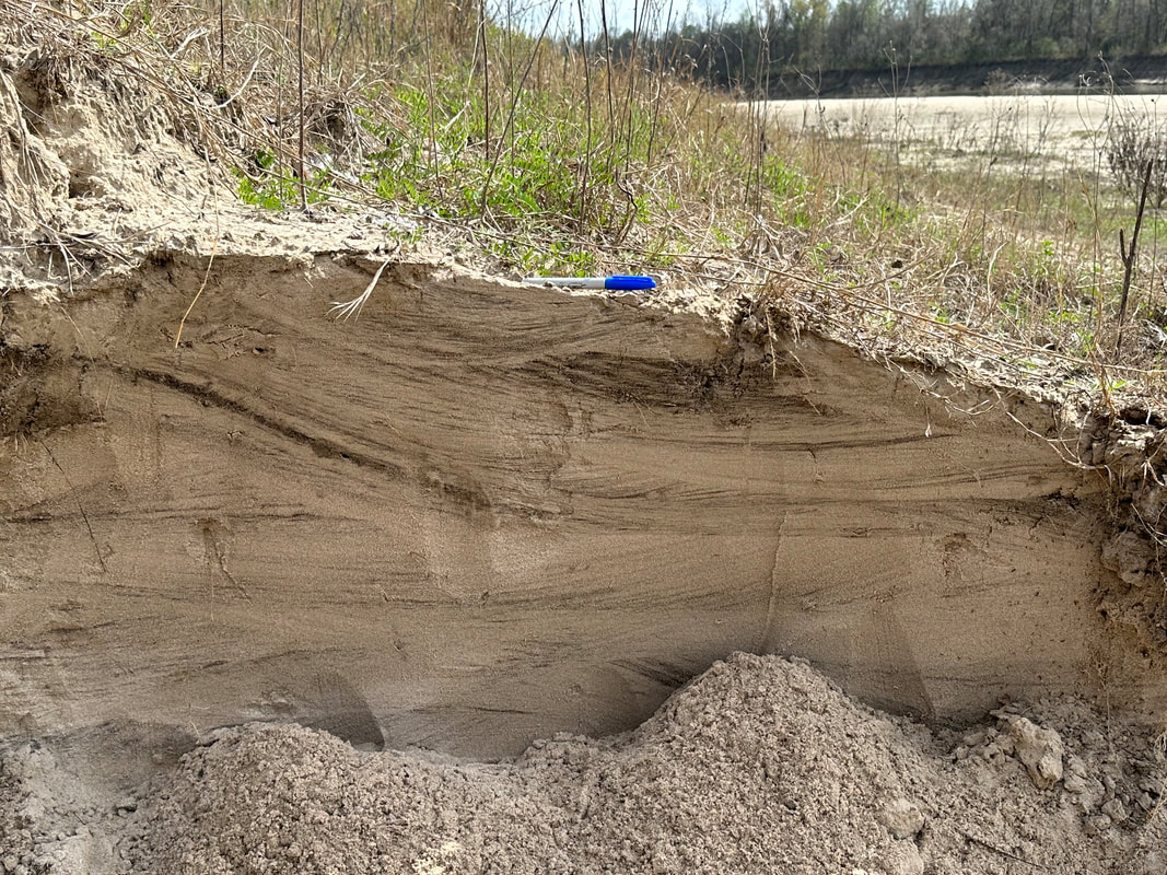
Students in GS106 taking paleocurrent measurements from deep-water stratigraphy of the Pigeon Point Formation along coastal California.
|
|
|
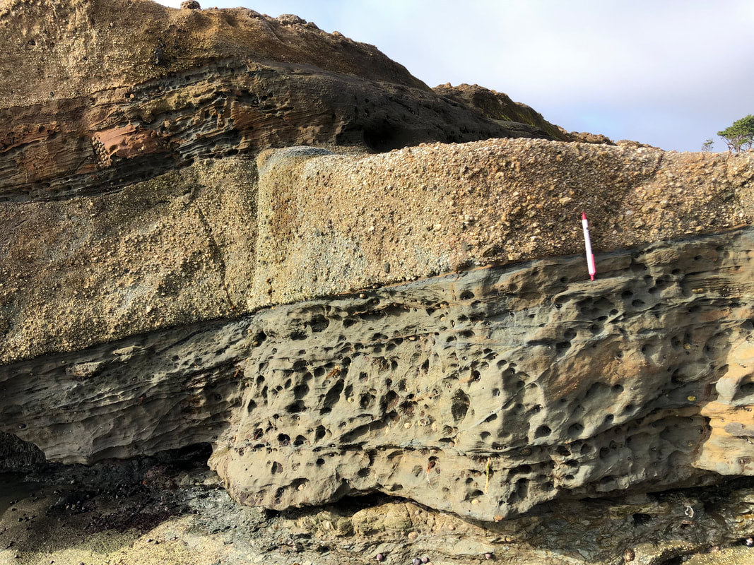
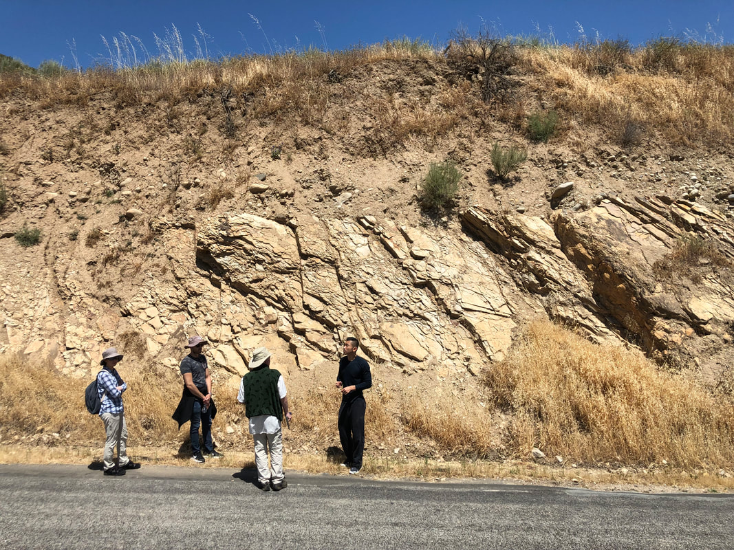
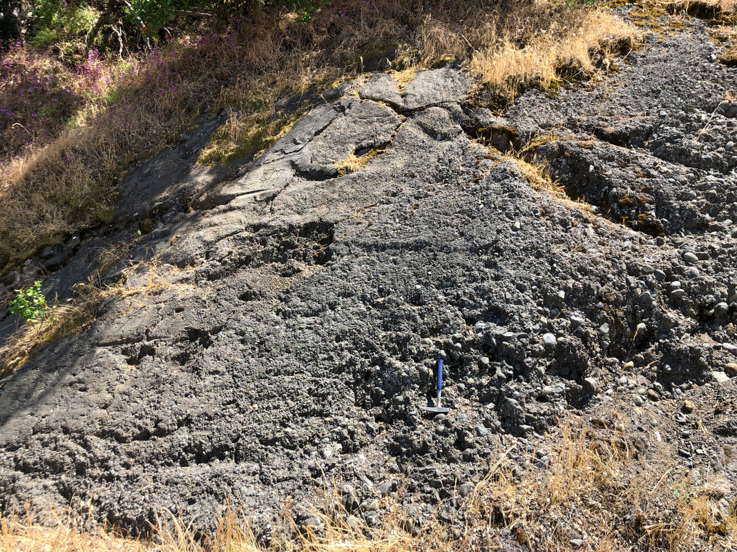
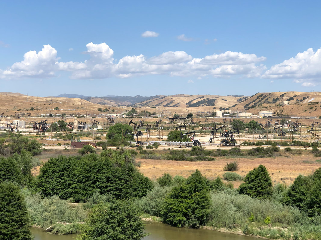
Petroleum Geology and Exploration: GS 253, graduate level, Spring quarter, odd years Co-instructed with Prof. Steve Graham, this course covers the origin and occurrence of hydrocarbons. Topics: thermal maturation history in hydrocarbon generation, significance of sedimentary, structural and tectonic setting, trapping geometries and principles of accumulation, and exploration techniques. FIELD TRIP: Photos to the right from our course field trip to the Salinas Basin, central CA to see all the elements of an active petroleum system including: UL: mature source rock in the lower Monterey Fm. UR: siliceous (and brittle) upper Monterey Fm. (overburden) ML: Reliz-Rinconada fault (migration pathway) MR: concentric folding of the upper Monterey Fm. (trap) LL: oil-charged fluvial conglomerate and sandstone LR: San Ardo oil field which produces from this system |
|
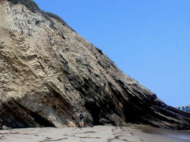
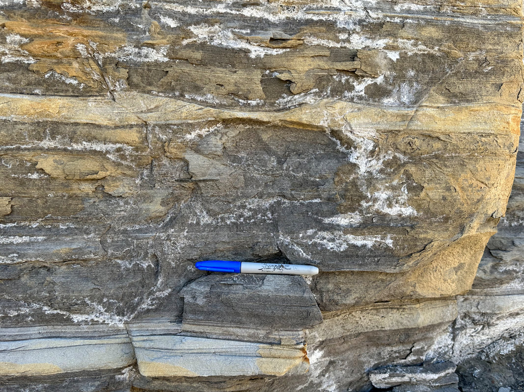
Photo of an ancient submarine gully fill in the Miocene Monterey Formation in southern California. Regional dip is approximatetely 50 degrees to the West (to the right in photo). The dark colored units represent the coarse-grained fill of the submarine gully complex encased in fine-grained Monterey siltstone. The dark color is because the coarse-grained, porous nature of these strata allowed them to become tar-filled from oil expelled out of the encasing fine-grained Monterey units. The source rock, reservoir, and trap are all present here. In essence, this is an exhumed petroleum system!
|


Field Trips
|
Crossing the Cordillera
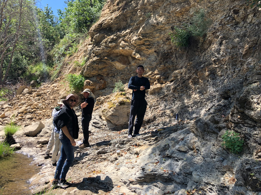
Co instructed with Prof. Elizabeth Miller: 10-Day field trip from Salt Lake City, UT to San Francisco, CA that transects western U.S. Cordilleran system from the Cretaceous foreland basin, through the extended hinterland in the Basin and Range province, to the convergent margin system of California (Sierra Nevada Arc/batholith, the Great Valley forearc basin, and the Franciscan accretionary prism). Part 1: 3 days in the foreland fold and thrust belt, Utah Part 2: 4 days in the hinterland and basin and range province, Nevada Part 3: 3 days in the convergent margin system, California |
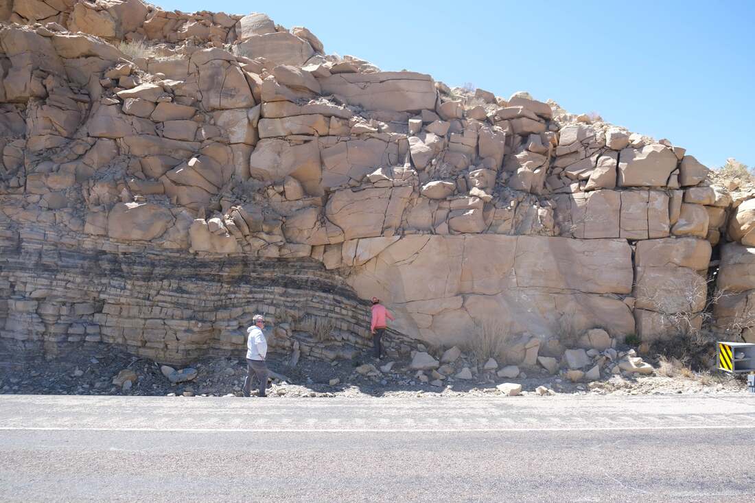
Looking at exposures of marginal marine channel architecture in Cretaceous stratigraphy of the Book Cliffs, UT (photo: E. Miller)
|
|
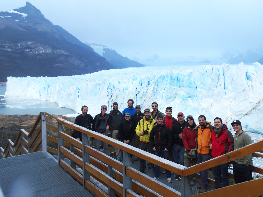
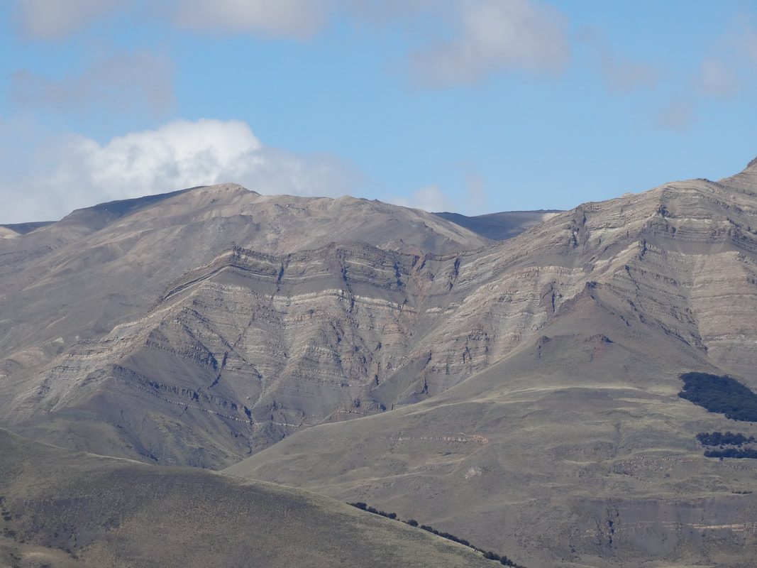
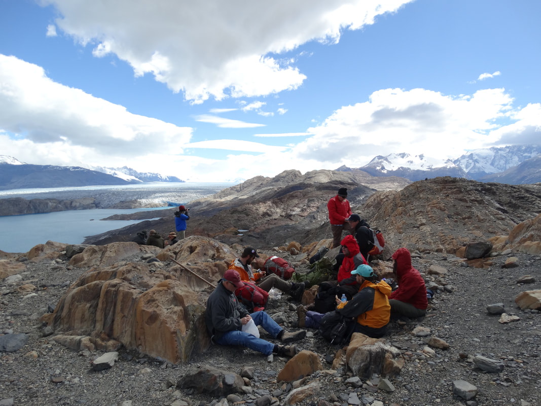
Jurassic–Cretaceous Evolution of the Patagonian Andes and Magallanes–Austral Foreland Basin, Southern Patagonia
This 7 day field trip covers spatial and temporal transect of the Magallanes–Austral Foreland Basin exposed in the Patagonian Andes of Argentina. On this trip, we explore the stratigraphic record that records both the Jurassic back-arc basin phase of the orogen and the successor retroarc foreland basin phase. |
|